How the Southeast Conservation Blueprint uses critical habitat
Both the National Oceanic and Atmospheric Administration (NOAA) and the U.S. Fish and Wildlife Service designate critical habitat for threatened and endangered species protected under the Endangered Species Act. In a nutshell, critical habitat represents areas that are essential to the conservation of threatened or endangered species because of their physical or biological features, and may need special management or protection. While sometimes those boundaries are impacted by political considerations, they contain key information about areas important to those species.
The Blueprint uses critical habitat information in two major ways:
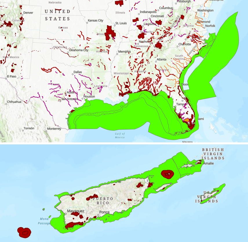
1) Directly in indicators: The island habitat and Caribbean island habitat indicators use critical habitat boundaries data to identify important island habitat for listed species. The Gulf migratory fish connectivity indicator also uses critical habitat for Gulf sturgeon.
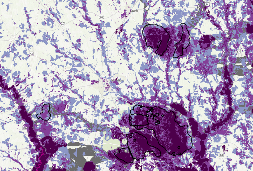
2) To test the Blueprint and indicators: For situations where including critical habitat directly in an indicator is challenging, we validate the indicators against critical habitat to see how well it captures those areas. If it works well–great! If not, it becomes a focus of further indicator improvements and gets documented in known issues.
Why not include all critical habitat as an indicator in the Blueprint? This is something we’ve been exploring.
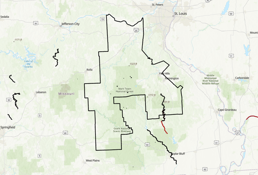
One of the tricky things about including all critical habitat is dealing with designations that cover very large areas. These often occur when it’s difficult to map more specific habitat types and movement areas. Critical habitat in Southeast Missouri is a good example of this challenge. There’s detailed critical habitat for some species and a very large area of critical habitat for Indiana bat. Should all of that large critical habitat polygon be a highest or high priority in the Blueprint? Remember, those categories can only cover 30% of the Southeast.
Another challenge that folks have brought up in the past is the political nature of critical habitat. Which species have critical habitat designated, and where that is located, also gets influenced by economic, political, and national security factors. That can further complicate how well important habitat is represented for various species.
Are there important critical habitat areas you think the Blueprint is missing? We can make sure that’s captured in the known issues and a focus of future improvements. Do you have ideas for how to best use critical habitat in the Blueprint? Feel free to contact a member of the Blueprint staff.