Don't miss next month's webinar on how to map the places you know with OpenStreetMap
Amy wrote a great blog back in May about the many ways we’re using OpenStreetMap (OSM) data in the Southeast Conservation Blueprint. As a community-driven crowdsourced mapping project, OSM offers a unique opportunity to directly improve the Blueprint by adding or editing data on greenways and trails, historic sites, parks, beaches, and more.
SECAS staff worked with the staff and leadership of the U.S. OpenStreetMap community to bring you a hands-on webinar next month on the August Third Thursday Web Forum. You’ll learn what OSM is and hear about exciting new initiatives related to trail stewardship and providing a platform for federal employees to contribute to OSM through the public domain! And best of all, you’ll get a live demo on how to digitize in OSM to fill key data gaps.
We’re so excited to collaborate more closely with the OSM team going forward. The energy that OSM leaders, staff, and volunteer mappers bring to their goals of making OSM “the best map dataset of the world” and ensuring it is “used as widely as possible” (see the OSM mission and values statement) is so inspiring!
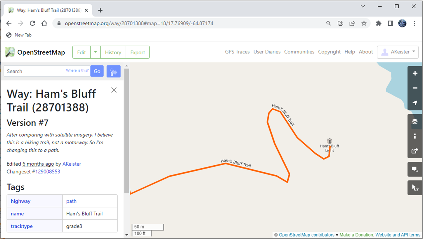
If you’d like to get started mapping in OSM as a citizen, check out this one-page guide. If you’re curious to have a deeper preview into how the data is structured in OpenStreetMap, glance at these two wiki pages:
Webinar connection info:
- Date: August 17, 2023
- Time: 10 am - 11 am ET
- Join the Teams meeting
- Learn more on the SECAS event calendar