Opportunity to review early indicators for the Caribbean in January 2023
As I mentioned in my blog last month, extending the consistent methods and indicators used in the 2022 Blueprint to the Caribbean is a major focus of the 2023 Blueprint update. Indicator development is well underway, and we’d like to get feedback on a few draft indicators during the first three weeks of January.
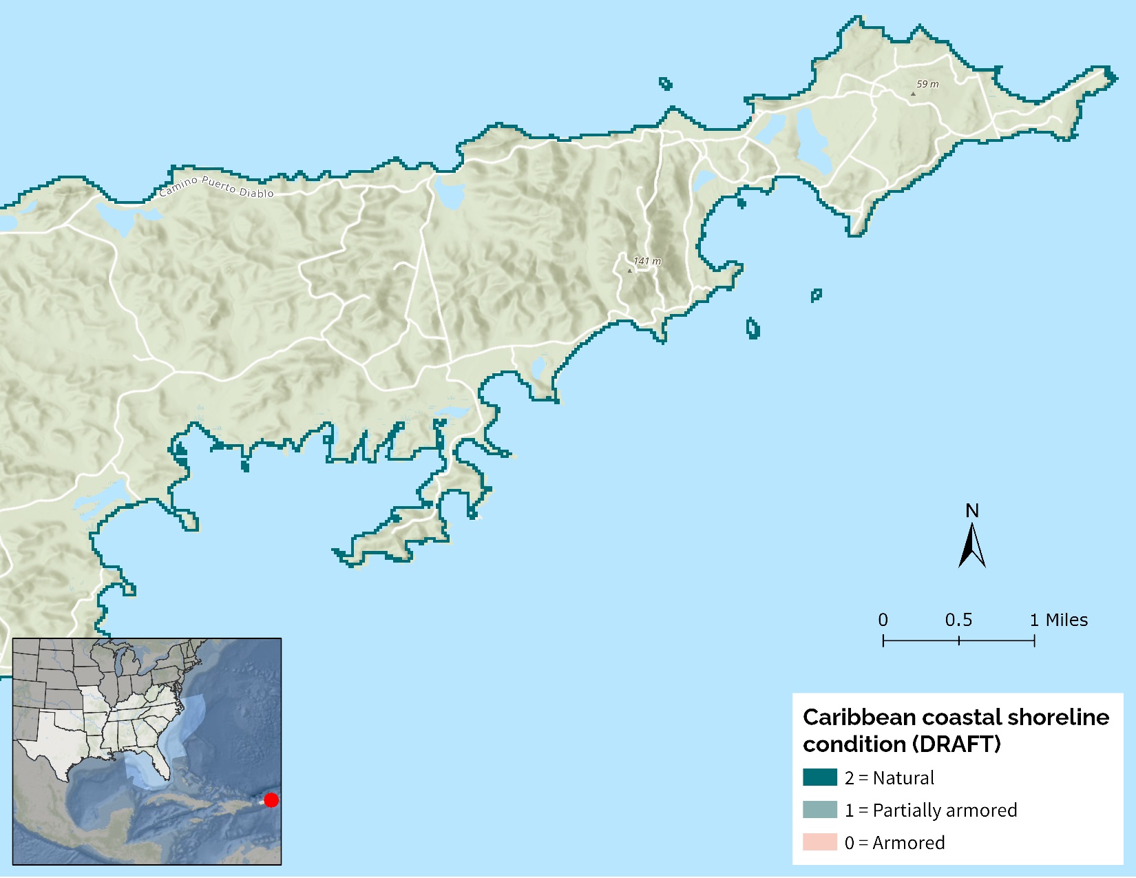
We’ve scheduled two calls to review a handful of terrestrial indicators (e.g., Caribbean landscape condition and Caribbean island habitat), and a third to review some aquatic and coastal indicators (e.g., Caribbean natural landcover in floodplains and Caribbean coastal shoreline condition). If you haven’t already received an invitation, and you’d like to help with review, please email me at rua_mordecai@fws.gov and I’ll share the virtual meeting invitation!
If you’re knowledgeable about Puerto Rico and the U.S. Virgin Islands but don’t have time to dig into indicator review right now, don’t worry! You’ll still have the opportunity to review the draft Blueprint priorities for the Caribbean–as well as the Atlantic and Gulf of Mexico–later in 2023.