Improving the utility of the Southeast Blueprint in the Gulf of Mexico
In support of the SECAS goal of improving the health, function, and connectivity of southeastern ecosystems by 10 percent in the next 40 years, the U.S. Fish & Wildlife Service is working with The Water Institute of the Gulf through a cooperative agreement titled, “Advancing the goals of SECAS: A program to improve Southeast Conservation Blueprint utility in the Gulf of Mexico.”
This effort is designed to collect, improve, and coordinate existing data into the Southeast Conservation Blueprint towards the goal of broadening the ability of this prioritization tool to link across scales from Gulfwide, statewide, to local. While the Blueprint is currently being used to help prioritize areas in need of restoration and conservation across the northern Gulf, the application is limited to particular areas. This new program will help integrate and provide additional data and links in order to allow the tool to be applied more broadly and scalable whether the interest is in a regional, state-based, or very localized project.
This will fill a demand in the northern Gulf of Mexico where the need for actionable, science-based tools is particularly strong due to both natural (e.g. storms, sea level rise) and human (e.g. oil spills, modification of river hydrology) stressors which have resulted in loss of critical habitat. The northern Gulf of Mexico coast includes some of the most extensive wetlands in the United States, and the world, as well as some of the most rapid land loss rates globally.
This new project builds upon previous work by The Water Institute to develop and compile geospatial data layers that relate to Gulfwide habitat types, ecosystem threats, and community/social metrics to support restoration planning throughout the northern Gulf of Mexico. Within that project, a total of 40 individual datasets of threats, 19 related to habitat type and intactness, and 10 community related parameters were compiled and synthesized into layers of overall threat to success of restoration or conservation projects as well as potential for community benefits from those projects or programs.
This information, along with needs identified in six subregional Blueprints, will be integrated with the overall Southeast Blueprint. Ultimately, this will allow for scalability and provide opportunities for linking the Southeast Blueprint tool to local, state, and Gulfwide planning mechanisms.
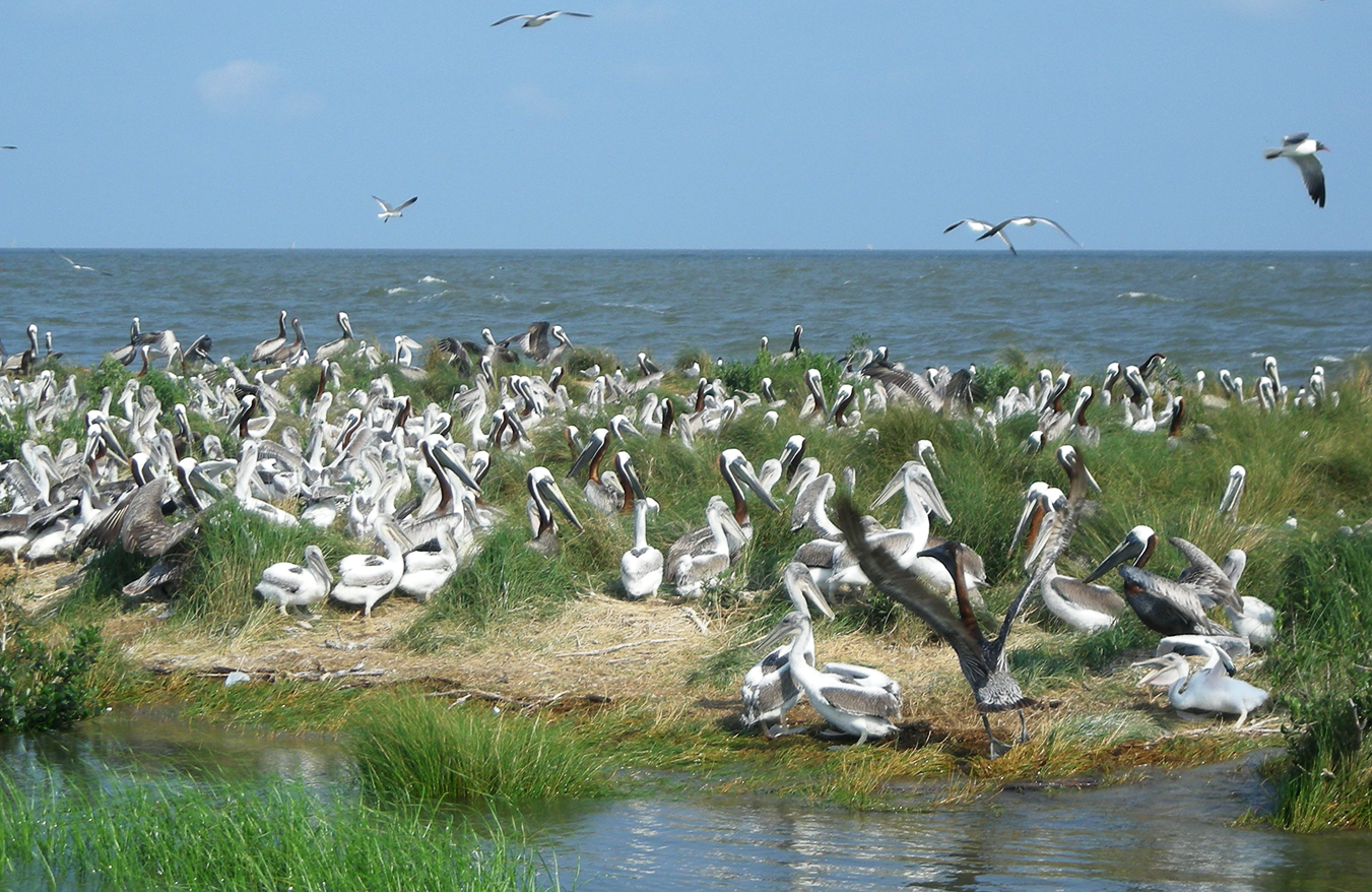
For example, The Water Institute is working on identifying specific pathways and potential linkages between the Southeast Blueprint and state-led mechanisms such as the Louisiana Coastal Master Plan that can promote information flow into the Southeast Conservation Blueprint as well as utilize the Blueprint to enhance planning and prioritization efforts. On the local scale, a conceptual model illustrating the influence of the Chandeleur barrier island chain (Breton National Wildlife Refuge) on regional hydrodynamics, geomorphology, habitat availability, and estuarine and sound water quality. The SECAS framework will be utilized to identify a suite of metrics that quantify the ecosystem value of the Chandeleurs to inform specific restoration designs in the future.
Although the work is just beginning on this new project, the results will be a much better coordinated and more scientifically robust view of the northern Gulf of Mexico needs and priorities.
For more information please contact:
US Fish & Wildlife Service:
- Todd Hopkins (todd_hopkins@fws.gov)
- Mallory Martin (mallory_martin@fws.gov)
The Water Institute of the Gulf:
- Mike Miner (mminer@thewaterinstitute.org)
- Tim Carruthers (tcarruthers@thewaterinstitute.org)