From the archive - A conservation blueprint for the nation?
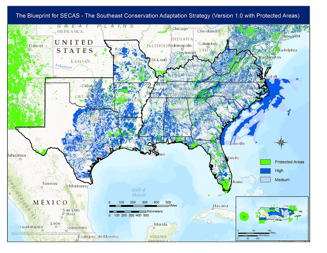
Wouldn’t it be great if the South Atlantic Conservation Blueprint hooked into similar products across the entire United States? There’s already a version that covers most of the South thanks to the Southeast Conservation Blueprint. Why stop there? There’s now progress in the Northeast, Midwest, and West toward similar “blueprints”.
In the Northeast, the “blueprint” is being called Nature’s Network. It’s a new name for the information currently used in the Southeast Blueprint to fill in part of Virginia. A new website for the effort will be launched on May 1.
In the Midwest, the “blueprint” will likely come from the Mississippi River Basin Gulf Hypoxia Initiative. Data from this project are already used in the Southeast Blueprint to fill in part of Missouri.
In the West, the “blueprint” will likely come from the Crucial Habitat Assessment Tool. There are already ongoing discussion on how to connect with this tool to complete coverage of Texas and Oklahoma in the Southeast Blueprint.
Will an integrated national “blueprint” be messy and imperfect at first? You bet! Is it possible to connect up these efforts into a single national layer in the near future? It certainly looks like it.