From the archive - Check out SECASsoutheast.org

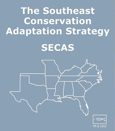
Six Landscape Conservation Cooperatives (LCCs) across the Southeast have joined forces with the Southeast Aquatic Resources Partnership and U.S. Fish and Wildlife Service to create a website for the Southeast Conservation Adaptation Strategy (SECAS). SECAS is bringing together people and organizations to design and achieve a connected network of landscapes and seascapes that supports thriving fish and wildlife populations and improved quality of life for people across the southeastern United States and the Caribbean. The website explains the need for SECAS, explains the “Blueprint” conservation design processes being carried out across the 6 LCCs, features a storymap of example projects, and more.
- SECAS Landscape Conservation Cooperatives:
- Appalachian Landscape Conservation Cooperative (AppLCC)
- Caribbean Landscape Conservation Cooperative (CLCC)
- Gulf Coast Prairie Landscape Conservation Cooperative (GCPLCC)
- Gulf Coastal Plains & Ozarks Landscape Conservation Cooperative (GCPOLCC)
- Peninsular Florida Landscape Conservation Cooperative (PFLCC)
- South Atlantic Landscape Conservation Cooperative (SALCC)
Click here to view a full list of SECAS partners, including the the state agencies that are part of the Southeast Association of Fish and Wildlife Agencies and the federal agencies that are part of the Southeast Natural Resource Leaders Group.