The South Carolina Lowcountry Sentinel Landscape – A local partnership supporting a regional conservation vision
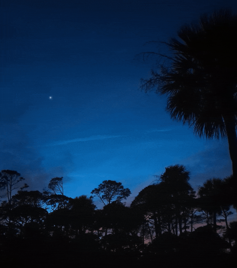
The Lowcountry of South Carolina, just north of the Savanah River, is a landscape that’s still a little wild. Here, the lands and waters support wide expanses of longleaf pine, salt marsh, maritime forest, and working lands. This is also a place where conservation partners from the Open Land Trust, The Nature Conservancy, the Center for Heirs Property Preservation, the U.S. Fish and Wildlife Service, and many others will work with local military installations (Marine Corps Air Station Beaufort, Marine Corps Recruit Depot Parris Island, and Naval Support Facility Beaufort) to achieve common goals within the newly established Lowcountry Sentinel Landscape.
Earlier this year, the South Carolina Lowcountry Sentinel Landscape became the 11th Sentinel Landscape designated nationwide! It’s also the 3rd Sentinel Landscape supported and informed by the Southeast Conservation Blueprint, where Blueprint user support staff helped partners develop maps and support the application for designation. For other examples of how the Blueprint has helped support both conservation and the military mission, visit Hilary’s blog from July of last year.
Sentinel Landscapes represent well-defined geographies where the military, conservation, agriculture, and forestry communities have shared interests. In 2013, the U.S. Departments of Agriculture, Defense, and Interior created the Sentinel Landscape Partnership initiative to facilitate federal, local and private collaboration to promote natural resource sustainability in areas surrounding military installations. In these areas, federal agencies work with local partners to provide financial and technical resources to private landowners. The goal is to increase sustainable management practices and connect private landowners with programs to keep working lands working, like voluntary state and federal assistance tax reduction programs, agricultural loans, technical aid, and conservation easement funding. Areas designated as Sentinel Landscapes are also more competitive for federal funding opportunities and serve as places where partners can work together at a landscape scale.
The Sentinel Landscape Partnership initiative arose out of a common challenge—development in the wrong places, or the wrong type of development. Development can often lead to habitat fragmentation, loss of biodiversity, and obstacles for agriculture, and it’s also problematic for our nation’s military mission readiness. Many military installations were originally established in remote areas far from towns and communities in order to provide the training necessary to prepare our armed forces for a wide variety of combat situations. In the Southeast, a region with one of the fastest growing populations in the country, development has forced the military to restrict or even abandon some training areas or routes because of the impacts to surrounding communities from noise, vibrations, and increased wildfire risk. As another added pressure, some modern training technologies and combat techniques require more space around bases–not less.
Sentinel Landscapes also offer opportunities to work across a landscape to restore threatened species populations and potentially avoid the need to list species as threatened or endangered. As an example, one of the central goals of the Georgia Sentinel Landscape is to conserve longleaf pine forests, a habitat that supports the imperiled gopher tortoise. Listing the gopher tortoise under the Endangered Species Act would not only be costly for the state’s economy, but could also limit military testing and training activities. The Georgia Sentinel Landscape seeks to protect 65 of the 122 viable gopher tortoise populations on 100,000 acres of habitat throughout the state. To date, partners have protected enough gopher tortoise populations to meet 80% of their goal, making it likely the species will not need regulatory protection in Georgia.
The South Carolina Lowcountry Sentinel Landscape—which borders the Georgia Sentinel Landscape—seeks to achieve five goals to ensure the sustainability of ecosystem services, address climate change impacts, and support military mission readiness. These goals include:
- Promoting nature-based solutions to increase natural resiliency and protect critical infrastructure
- Protecting/enhancing ecologically significant areas to support imperiled species
- Protecting source water quality and quantity
- Supporting and protecting working farms and forests and ensuring equitable access to conservation programs to prevent incompatible development with military operations
- Establishing and promoting the Sentinel Landscape to ensure long-term military readiness
Southeast Blueprint user support staff worked with Lowcountry Sentinel Landscape partners to develop their successful application because their objectives align with the SECAS vision—a connected network of lands and waters that supports thriving fish and wildlife populations and improved quality of life for people. The role of Blueprint user support includes helping partners use the Blueprint and other data sources to communicate the strategic importance of a local landscape in achieving shared regional goals.
While well over 55% of the Lowcountry Sentinel Landscape is recognized as a priority for conservation by Southeast Conservation Blueprint 2022, it’s the data that drives the Blueprint that helps to tell the story of why these lands and waters are important to all of us. The spatial indicator data that underlies the Blueprint, along with other complementary sources of information, are really just stories waiting to be told. That is the job of user support—translating that data into meaningful communication to convey a landscape’s significance.
For example, the Lowcountry landscape encompasses more than 2.2 million acres of longleaf pine forest, ranchlands, salt marsh, and forested wetlands. It also supports more than 132,000 acres that are considered excellent migratory fish habitat by the Atlantic Coast Fish Habitat Partnership. Roughly 55% of the total saltmarsh (a habitat of focus for groups like the South Atlantic Salt Marsh Initiative and the Pew Charitable Trusts) in South Carolina is in the Lowcountry geography. In addition, the majority of this landscape is part of a Priority Amphibian and Reptile Conservation Area considered one of the most herpetofaunally diverse areas of the state. It’s home to the federally threatened flatwoods salamander, the state endangered gopher tortoise, the state endangered gopher frog, the state threatened southern hognose snake, the state threatened spotted turtle, eastern diamondback rattlesnake, tiger salamander, and many other species.
To date, more than $574 million from the Departments of Agriculture, Interior, and Defense has been used to support projects across 10 Sentinel Landscapes. These contributions, along with state, local, and private funds, have helped to permanently protected over 610,000 acres of land and enroll an additional 3.1 million acres of land in technical assistance programs. Sentinel Landscapes are key partnerships and landscapes that can help further the SECAS vision of a connected network of lands and waters—which is why Blueprint user support staff are always happy to help these partnerships become established and make a difference on the ground.