SECAS in Action story map updated to showcase recent successes across the region
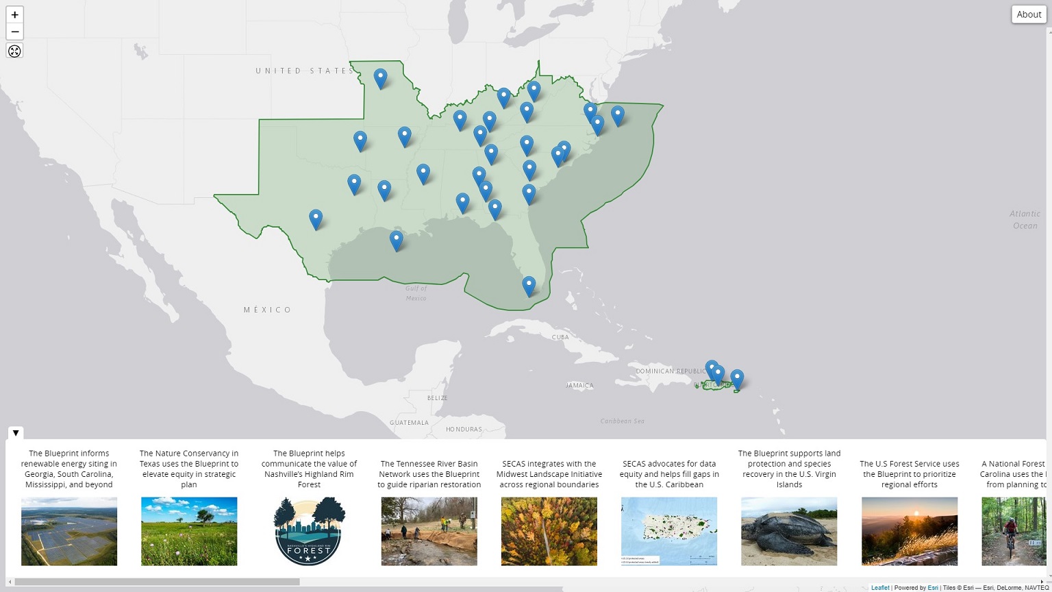
If you’ve spent much time poking around the SECAS website, you may have noticed the “In Action” button on the top menu bar (yep, right up there ↑, smack dab in the middle). This takes you to a story map intended to showcase examples of how SECAS is making a real difference for conservation, both as a regional forum for collaboration, and through its products and tools.
Staff have just completed a major update to that story map to feature examples from every state and territory in the SECAS geography! You’ll find stories about supporting America the Beautiful Challenge grants, helping the U.S. Forest Service prioritize regional efforts, advocating for data equity in the U.S. Caribbean, informing renewable energy siting, and much more.
We hope this will inspire some new ideas about how SECAS could support your work! If so, you know where to find us–contact a member of the user support team for help!