A tale of two partnerships - How SARP and SECAS work together
Have you heard about SARP? I think of SARP as the sibling to SECAS.
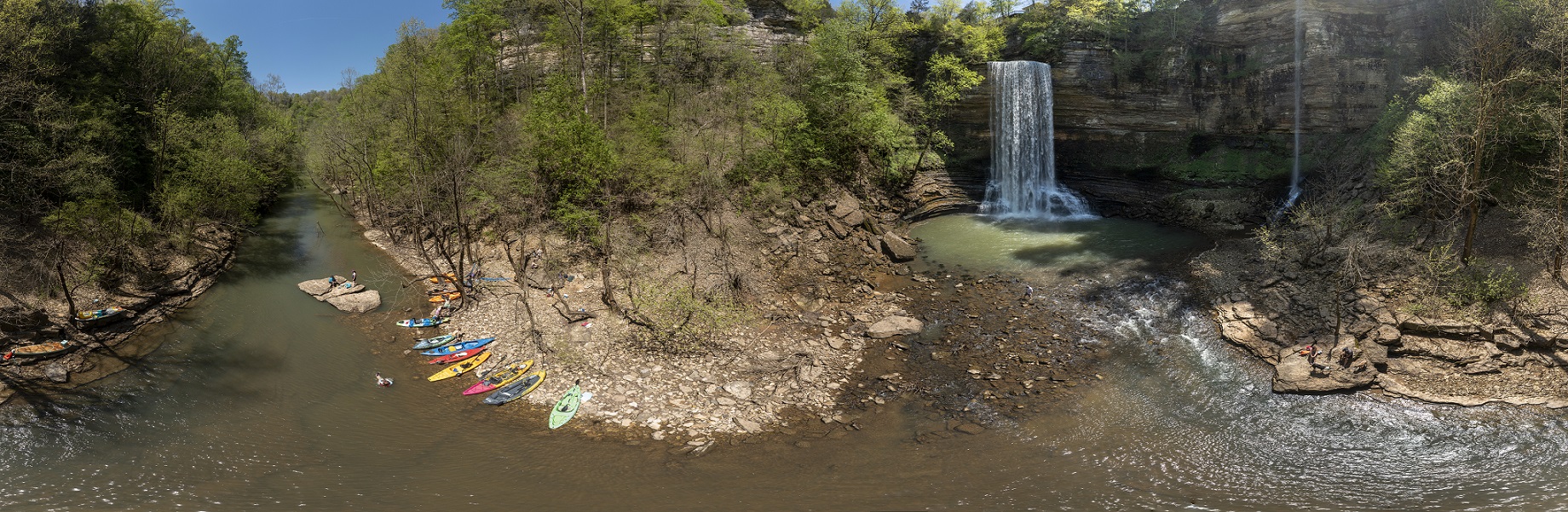
The Southeast Aquatic Resources Partnership (SARP) began in 2001 as a collaborative effort among organizations, agencies, and individuals working to conserve aquatic resources in the Southeast region of the United States. For the past 20+ years, SARP’s partners have experienced the value of working together at the landscape scale to leverage resources, build trust, and learn from one another. SARP was officially designated as one of the nation’s first Fish Habitat Partnerships and supports a variety of regional initiatives to restore and protect aquatic habitats for the many imperiled aquatic species across the Southeast.
While SARP is focused mostly on conserving the aquatic resources in the region, SECAS takes a broader approach, addressing the glue that brings both aquatic and terrestrial resources together. Both SARP and SECAS convene a range of stakeholders to work collaboratively on conservation initiatives, aligning conservation efforts and maximizing their impact. Operationally, they are both programs under SEAFWA, but most of the staff of SECAS are employed by the FWS while the staff of SARP work with SEAFWA.
I started my career by working with SARP from 2009-2016. I began working with SECAS in early 2020, and I was excited to learn that SARP and SECAS were still well connected. So when Todd Ewing, SARP’s new Program Coordinator, asked for a presentation about SECAS to the SARP Steering Committee meeting recently in Panama City, FL, I jumped at the chance to reconnect with former colleagues and meet new ones.
One of the strongest ways that SECAS and SARP collaborate is with the development of indicators that are used in the Southeast Conservation Blueprint. Many of the freshwater indicators come directly from SARP’s Connectivity Program, and their Barrier Prioritization Tool. (Fun fact, the Blueprint Explorer and the Barrier Prioritization Tool have the same web tool developer, Brendan Ward of Astute Spruce).
In a future blog post, I’ll highlight 3 of the indicators that we co-develop with SARP:
- Natural landcover in floodplains
- Network complexity
- Imperiled aquatic species
The relationship between SARP and SECAS is more than just sharing data. We have synergy between two partnerships, which helps everyone get their work accomplished. That’s part of the SECAS role as a forum for multiple partnerships and SARP’s role in bringing together aquatic resource experts across the region. We learn from one another and are grateful for the relationships we have built through this partnership.
Stay tuned next month to hear more about 3 cool freshwater aquatic Blueprint indicators and how they are used by the two partnerships!