Chance to join Blueprint indicator teams - Southeast grasslands and longleaf pine
We’re making good progress on the new approach for the 2022 Southeast Conservation Blueprint. A big focus right now is on expanding and improving indicators for use in the new Blueprint. For some indicators, we’re only working directly with data providers and a select group of experts. With others, we’re also opening up the review teams to anyone who’s interested. The first two of those are indicator teams for Southeast grasslands and longleaf pine.
The overall commitment for each team is 1-2 online meetings (1 hr each). The calls will likely happen in January.
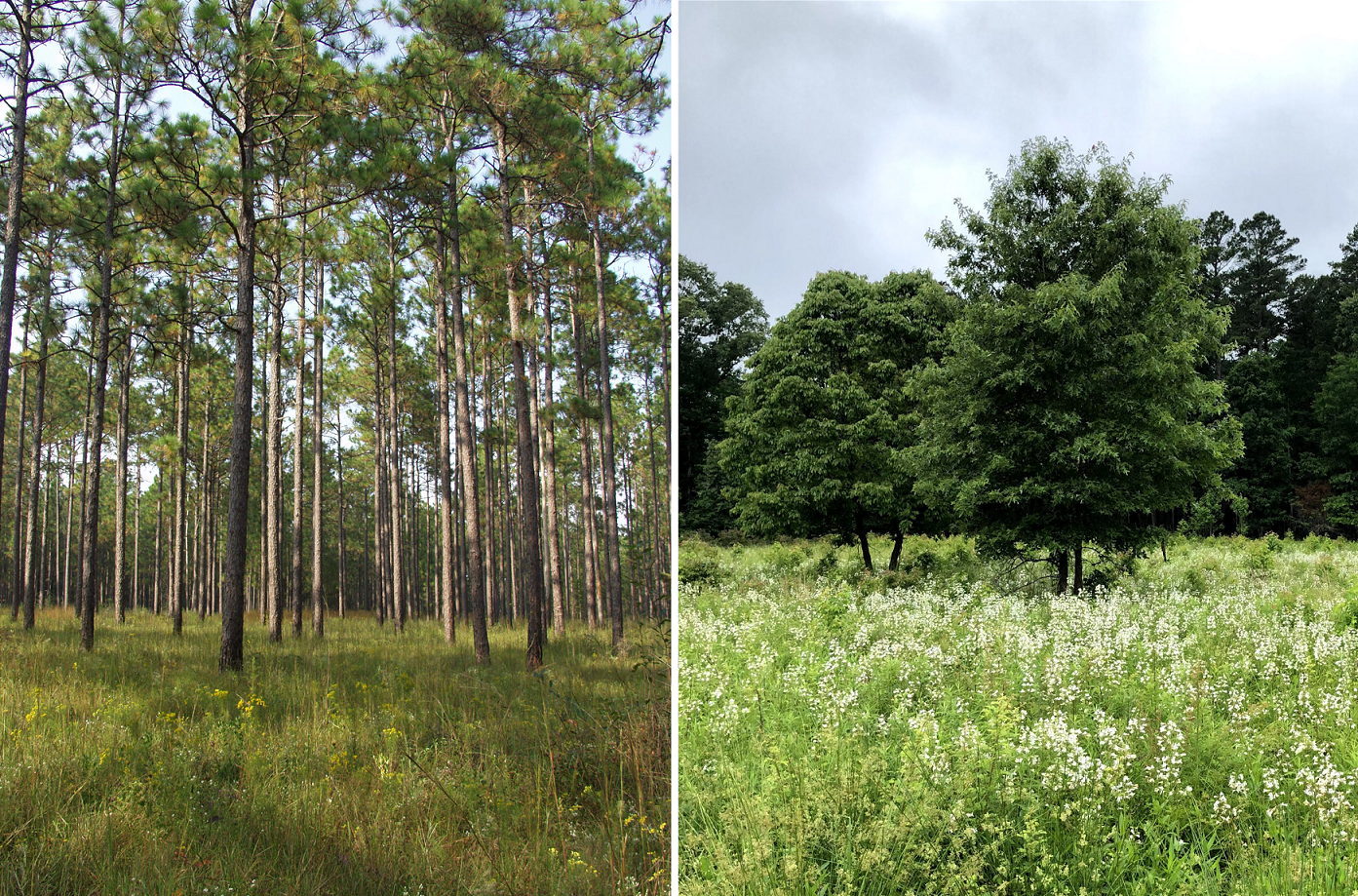
Longleaf pine
Thanks to some big progress in longleaf mapping throughout the range, it looks like we can combine work from Florida and in states throughout the longleaf range into a decent indicator. This team will review some options based on those data.
- Sign up for the longleaf pine indicator team (https://forms.office.com/Pages/ResponsePage.aspx?id=urWTBhhLe02TQfMvQApUlMsSMhhZgj5LtUzvT7wy35tUQ05JWUoyMFNVWjUwV0lTVjNJV1E5NENHWS4u)
Southeast grasslands indicator
There’s also some excellent work on current and historic grasslands now. As you probably know, grassland mapping is really tough, but things seem far enough along for a larger Southeast grasslands indicator.
- Sign up for the Southeast grasslands indicator team (https://forms.office.com/Pages/ResponsePage.aspx?id=urWTBhhLe02TQfMvQApUlMsSMhhZgj5LtUzvT7wy35tUMFlPUERPWEdXQ0RWV0RPSko0MFcxNjNYSC4u)