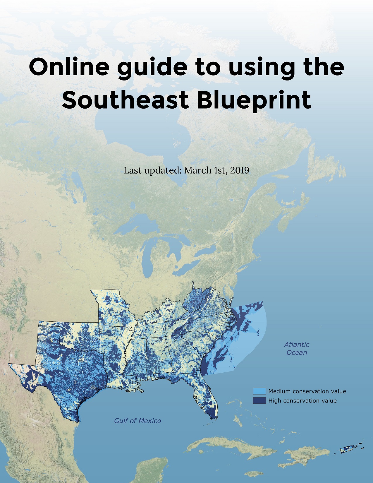
Hot off the press: User guide for the Southeast Conservation Blueprint!
A new online user guide is available to help you use the Southeast Blueprint to support grants and inform decision-making. A companion guide is also available for the South Atlantic Blueprint, one of the subregional inputs to the Southeast Blueprint. While this blog will focus on the Southeast guide, if you want to learn more about the South Atlantic guide, check out this blog post on the South Atlantic website.
The user guide compiles different examples of real Blueprint uses to provide new ideas about how to connect to this larger strategy. For the last several years, staff have been helping individuals and organizations in the conservation community use the Blueprint. We’ve learned a lot about the types of approaches, wording, and maps that work best in different situations, and we want to share those lessons with you. The guide showcases a range of case studies, grouped into a few themes that summarize the primary ways people have used the Blueprint.
So who is this user guide for?
It’s for anyone who wants more detailed instructions on how to use the Blueprint on their own. As always, staff are still here to support you if you want help. But some folks prefer to work independently. If that sounds like you, this guide is intended to help you analyze and interpret the Blueprint, particularly if you need to demonstrate the conservation value of a parcel when writing a grant proposal. That’s one of the most common and straightforward Blueprint uses, so we dedicated an entire section to that topic. As user support staff, we generally follow a consistent template for parcel analysis, so we’ve written out all the steps.
It’s also for anyone who wants to see concrete examples to help them imagine how a plan like the Blueprint could apply to them. The user guide does more than tell general stories about helping “identify priorities” and “bring in fire funding”. It gets into the nitty-gritty details—how users filtered the Blueprint down to find the piece relevant to their question, how they reported out on urbanization impacts, what indicators they used to tell the unique story of their area. If that interests you, check out the case studies at the end of each section. We hope that they will inspire you to use the Blueprint in your work, in ways you may not have thought of before.
Of course, the user guide, like the Blueprint, is a work in progress. So what are the next steps? We welcome feedback on whether you find it helpful and what other information you might want to see. Would you like a a detailed GIS appendix explaining how to analyze raster datasets? More case studies? Something else? I’ll be walking through both the Southeast and South Atlantic user guides on a webinar on March 21st at 10 am. There will be plenty of time to discuss future improvements. Or, you can always contact me directly to share your thoughts at hilary_morris@fws.gov or 919-707-0252.
Another longer-term next step—the Southeast Blueprint has many different subregional inputs. Someday. we hope to eventually release additional guides for each of the other inputs, not just the South Atlantic Blueprint, so you can get the most out of the underlying datasets.